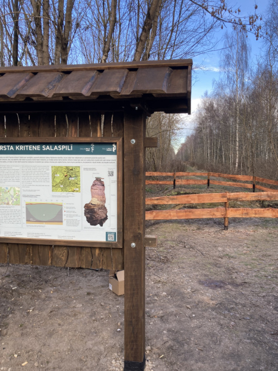
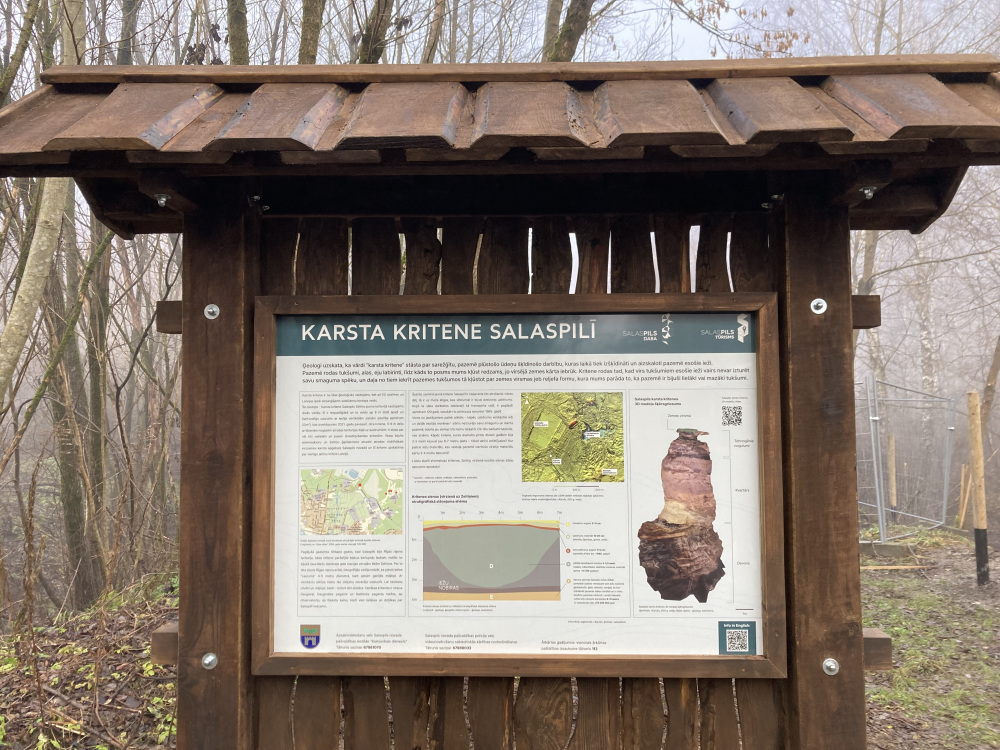
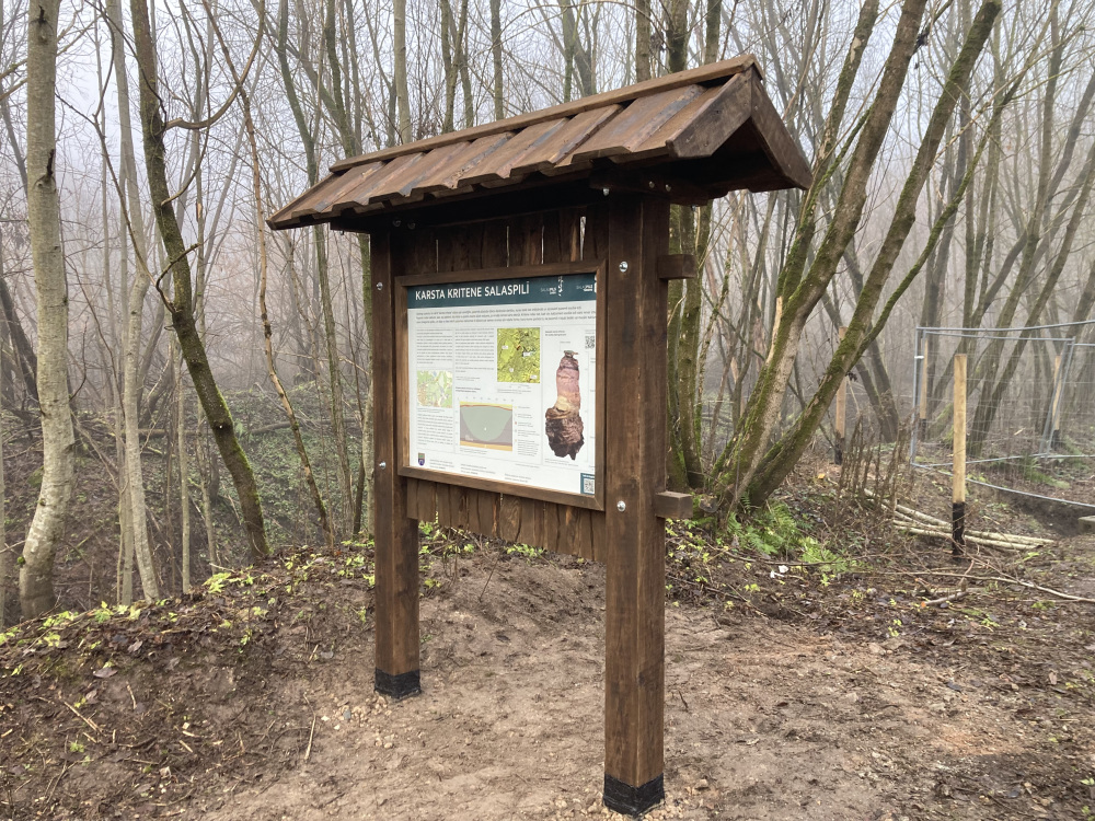
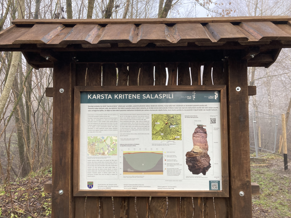
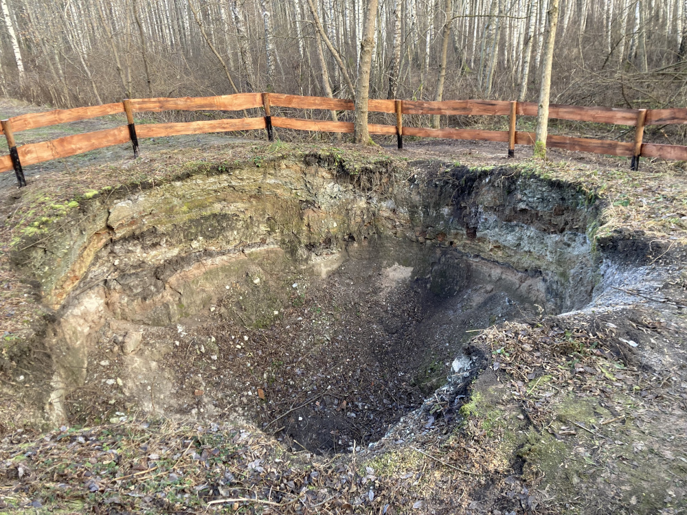
According to geologists the words ‘karst sinkhole’ talk about complex dissolving action of water flowing underground, which dissolves and washes away the rocks underground. Voids, caves, labyrinths of passages are created in the underground, until a section of them becomes visible to us as the topsoil collapses. A sinkhole forms when the rocks above the voids can no longer bear their own gravity and some of them fall into the voids underground, becoming the surface or landform that shows us that there have been bigger or smaller voids underground.
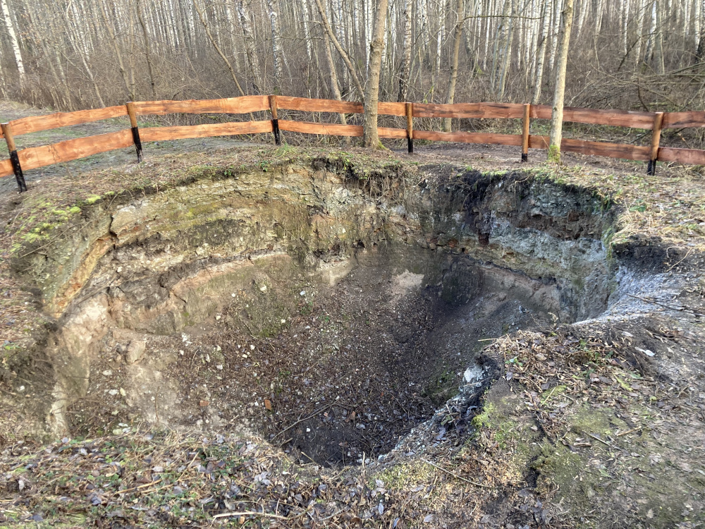
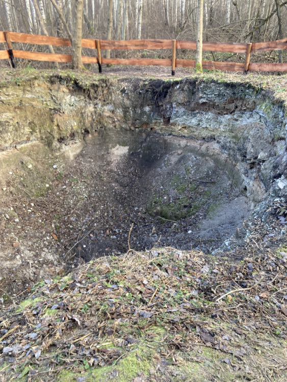
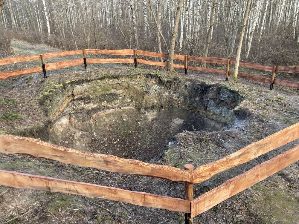
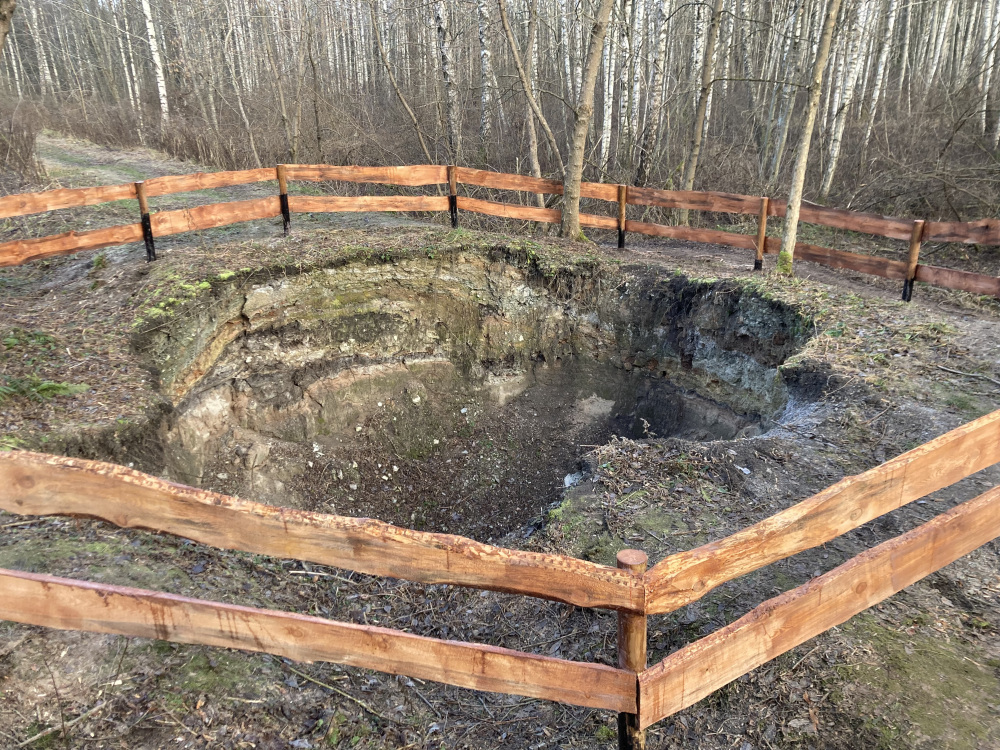
A karst sinkhole is not only a geological formation, but also a type of freshwater biotope of EU importance that is specially protected in Latvia. This biotope – the karst sinkhole in the territory of Salaspils Zeltiņu bog territory is found in two places. This is the most impressive one and is formed of a circular and pit-like hole about 8 m deep with sloping vertical walls (area about 20m 2 ), formed in spring 2021. The other sinkhole, 5-6 m deep with gentle slopes is located in the Eastern part of the territory. Other three small and quite long ago formed sinkholes are reported. The territory between the former nuclear reactor and the Zeltiņi gypsum deposit is the densest area of surface karst in Salaspils Municipality, and this is considered to be the only active sinkhole in Latvia. In the 1990s, when Salaspils was part of the Riga district, such a sinkhole appeared next to a potato field, near the old buildings of the former narrow-gauge railway terminus in Zeltiņi. It was reported in the Riga district newspaper, and photographs showed a 4-5 metre diameter “hole” in the meadow, with livestock grazing around it. The depth of the hole could not be felt with a simple alder stake. The hole was quickly filled in to avoid any harm to people and livestock. There are several sinkholes on the other side of the Daugava, in the forests of Daugmale and Baldone parishes, around the observatory, around Riekstu hill, often larger and deeper than the one in Salaspils.
This relatively new sinkhole in Salaspils is unusual because of its location on a logging trail that was historically a railway embankment. It is about 120 years since the railway started operating here as a transport route, but it ceased to be used in 1965. One of the open questions is why the rocks forming the embankment and the deeper moraine* layer could not bear their weight and fell underground, now at least three metres
deep. It is not known how far the voids go. Why has the sinkhole that was 2-3 metres across two years ago become 6-7 metres wide – i.e. actively developing? Where is the rock material that formed the 3-4 metre layer of surface that fell underground?
*Moraine – unsorted, clayey, sandy, sandy loam, dusty rock materials packed with stones and
gravel